
Lot Lab™ guide · Near Northside
Building in Near Northside
Deed restrictions, city overlays and what a lot can hold, in plain English. Updated October 2026.
The short version
We have not found neighborhood-wide deed restrictions in Near Northside, or one association that runs them. Some subdivisions may still have recorded restrictions, so check title for your lot. The City's super neighborhood page lists the area's civic clubs.
There is no City historic district here. The Near Northside National Register district covers about 65 acres. City Certificate of Appropriateness rules apply only to City landmarks and City districts.
The METRORail Red Line and Chapter 42 shape most new building here. Streets near four stations are mapped transit-oriented development (TOD) streets. Hogan and Lorraine are a Walkable Place, and 13 special minimum lot size areas cover many blocks.
City layers south of Cavalcade
From City of Houston GIS (Nov 2026), for the Near Northside Super Neighborhood south of Cavalcade St.
- Deed restrictionsNo neighborhood-wide set found; check title
- City historic districtNone
- National RegisterNear Northside district, about 65 acres; no City design review on its own
- Special minimum lot size13 areas, about 190 blockfaces, 3,750–6,250 SF
- Special minimum building lineNone found south of Cavalcade
- Rail stationsQuitman/Near Northside, Fulton/North Central, Moody Park, Cavalcade
- TOD streetsAbout 140 mapped street segments near the stations
- Walkable PlaceHogan St and Lorraine St, mapped as primary streets
- TIRZHardy/Near Northside (TIRZ 21), focused on affordable housing and transit-oriented development
- FloodplainWhite Oak Bayou floodway on the south edge, plus small 100-year pockets
What it means for your lot
Check for a lot size area first
Thirteen City special minimum lot size areas cover large parts of the neighborhood. On those blocks, you can't split a lot below the area's minimum.
Near the rail, read the TOD map
On primary TOD streets, new development must meet the pedestrian-realm rules. On secondary streets it can opt in, so look up your street before placing the house and garage.
More than one home can work
Where no restrictions apply, City rules allow townhome lots, second units up to 1,500 SF and small buildings of 3 to 8 units. Check lot size areas and title first.
City overlays
On top of any deed restrictions, the City of Houston adds its own layers. Where two rules overlap, the stricter one governs.
- Walkable Place: Hogan/Lorraine. Hogan and Lorraine are mapped as primary Walkable Place streets, with their own building line, parking placement and sidewalk rules.
- TOD streets. These are streets within a half-mile walk of qualified Red Line stations. The rules are mandatory on primary streets and opt-in on secondary ones.
- Special minimum lot size. 13 areas, set at 3,750–6,250 SF.
- Major thoroughfares. N Main, Fulton, Irvington and part of Elysian are thoroughfares. Hardy, Quitman, Burnett, Collingsworth and Patton are major collectors. I-45 forms the west edge.
- TIRZ and management district. Hardy/Near Northside TIRZ 21 and the Greater Northside Management District.
- Floodplain. White Oak Bayou floodway runs along the south edge, with small 100-year and 500-year pockets. Check each lot.
Got a Near Northside lot?
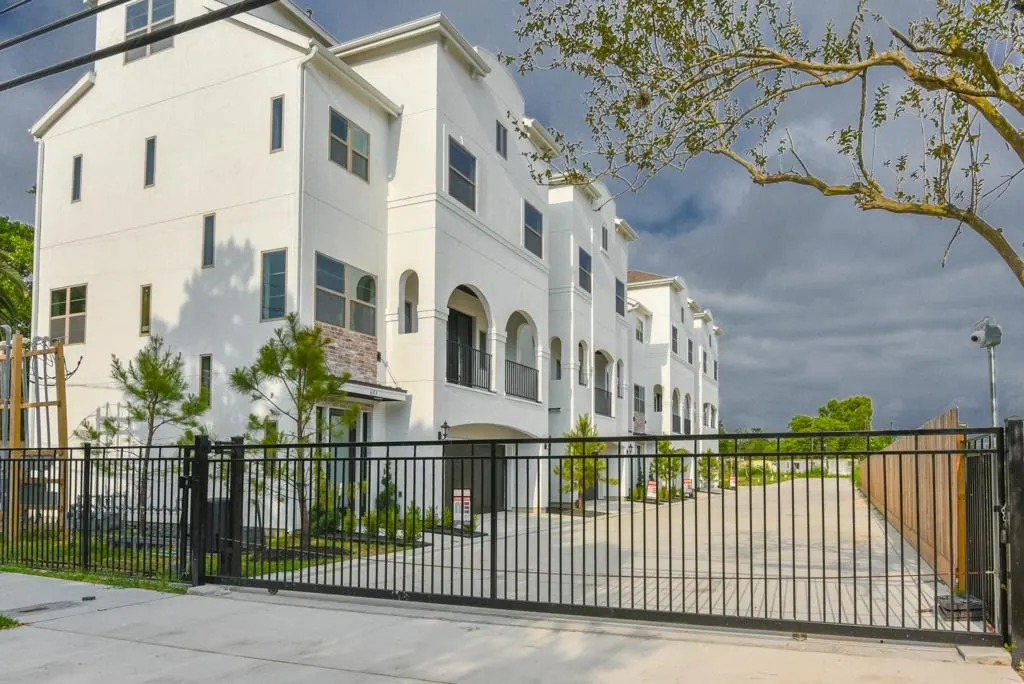
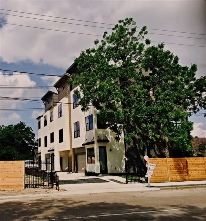
Our work nearby
Near Northside questions
Is Near Northside deed restricted?
We have not found neighborhood-wide restrictions or an association that enforces them. Some subdivisions may have their own, so ask your title company for any recorded restrictions on your lot.
Is it a historic district?
Not a City one. The Certificate of Appropriateness rules cover City landmarks and City districts, not National Register listings alone. Check whether your building is a City landmark.
Can I split a lot for townhomes?
Often, through a City replat. The exceptions are blocks in a special minimum lot size area and lots whose recorded restrictions forbid it, so check both.
Do the rail rules apply to my lot?
Only if the lot fronts a mapped TOD street or Walkable Place street. The rules are mandatory on primary streets and optional on secondary TOD streets.
More neighborhood guidesGarden OaksOak ForestTimbergrove ManorLazybrookHouston HeightsIndependence HeightsMontroseEast EndWoodland HeightsLindale ParkDowntownMidtownMuseum DistrictAll guides
This guide summarizes recorded deed restrictions, published association guidance and City of Houston map layers as of October 2026. It is general information, not legal advice, and it doesn't cover every section or amendment. Lot Lab reports and guides are preliminary design-feasibility research prepared by Sun Collective Design Group, a Design Studio, from public records available on the date shown. They are not a survey, plat, title commitment or title opinion, appraisal, engineering study, legal advice or a guarantee that any permit, replat, variance or association approval will be granted. Deed restrictions, plats and City rules can be amended or interpreted differently. Confirm everything with a current survey, a title commitment, the governing association and the City of Houston before you buy, design or build. Our total liability for any report is limited to the fee paid for it. Race-based clauses in older restrictions are void and unenforceable.
© 2026 Sun Collective Design Group. Lot Lab™ is a trademark of Sun Collective Design Group. Guides, reports, drawings and the research behind them are protected by copyright and trade-secret law. Copying, scraping, republishing or using this content to train AI or build a database is not permitted. See the Lot Lab Terms.